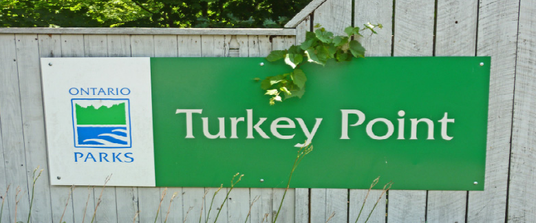
 Turkey Point trails are quickly becoming a first choice ride destination in Southwestern Ontario. This trail system is a little off the beaten track for most of us who usually head north to find a cool new place to ride which is likely why the trails have gone unnoticed by many for so long. This has changed because the word has gotten out that the Turkey Point trail system is a fun place to ride and it is a relatively painless drive to get there, unlike ride destinations north of Toronto which often require a much larger time commitment to travel.
I always imagined that the trails there would be boring and featureless based on the observations I made camping or spending time on the beaches in that area. When I heard about riding in Turkey Point I made the assumption that the trails would be all flat and the trail system would be too small to make the journey worthwhile. I was wrong. It is true that there are very flat trails there, but if you ride away from the road and the Provincial Park the landscape takes on a completely different feel where hills hidden in the back forty show up. My first ride at Turkey Point was a snowy group ride on my fat bike back in March. Some trail systems are good for fat bike riding in the snow and some are better than most, Turkey Point is near the top of the list for fat biking in winter conditions. Fat bike riders are looking for interesting trails with fewer hills and stable soil conditions that can bear the brunt of wheels in less than perfect weather conditions. This is exactly what I found there; trails that seem to be good no matter what our crazy climate throws at them. These perfect conditions are due to the fact that the trail system is built on sandy soil which allows water to absorb into the land rather than needing to run off. This forest will be one of my first picks for a winter fat bike ride destination. This past weekend I did my second fat bike ride at Turkey Point because I had such a good time on my first ride. Let me back up a little. The trails at my usual riding location, The Hydrocut, have been wet this spring so riding there was not an option due to the trails being closed. I asked the ridership on the Defiant Facebook Page about conditions at Turkey Point. A friend I have never met informed me that conditions would be dry there even though it had rained there that very morning. I had heard legends of how this trail system drys up like magic but I was skeptical. Other riders also responded that trail conditions would be dry so I headed off with my fatty to the trails. I was very surprised with what I had found there, dry trails shortly after a rain. Not just acceptable conditions; no these were summer conditions with no mud to be found anywhere. I started out on the tight and twisty trails on flat land and then worked my way north toward the more hilly trails. All of the trails were in great shape and worked so well for me on the fatty. I found myself on something called the Jimmy Joker which is rated expert. This is an old school trail heading straight down into a fairly large valley, and what goes down must go up. The trails in that area are a lung burner even for the more seasoned riders, something I wasn't expecting from that landscape. Any trail builder will tell you that you can only build trails that lend themselves to the terrain. Builders are somewhat forced to work with what they are given. The builders at Turkey Point were given some flat land with a pine forest which they used to build tight, twisty, fun rolling trails, perfect for all year fat biking. They were also given a deciduous forest with rolling hills which they used to build some single track with lots of speed followed up with some challenging climbs. Did I mention that I assumed Turkey Point was not going to give me enough challenge, I was wrong about that too. Ride number two was a blast and I had only seen about one third of the trails. The very next day I found myself with some unplanned time on my hands and an offer to ride. So my pal and I headed back to Turkey Point at my urging. This time I took my light weight cross country race bike. The trail system did not disappoint me on the skinny tire bike either. Speeds were higher but the flowy trail system seemed to be as perfect for the 23 pound bike as it was for the 33 pound bike. Not sure how that's possible but hey I just went with the flow and had a blast. On that third ride I found I really liked Pile Driver and the trails in the area of the Dump Trails. Trail systems often develop over time with many different builders creating trails which in most cases leads to some connectivity issues. These lead to navigation problems which exist on every trail system. Riders learn the best way to connect the dots so that they get the most out of their riding experience on any given trail system. T.P. has these same issues however the local Club has created a very comprehensive map which is available on line to help riders find their way. They have also responded with very good signage and with full sized maps at kiosks at key intersections. And if you still can't find your way even with all that mapping help, you can use the Trail Forks app on your digital ball and chain. Before you leave home go to the club web site. See links below. Overall I would expect this trail system to grow in popularity and likely become far better known by the ridership in South Western Ontario. Turkey Point has moved onto my must ride locations list for this summer and I'm looking forward to exploring the rest of the 72km long trail system. All bike trail systems run on donations, sponsorship and membership fees to make it happen for you. I checked off all the boxes and paid the 35 bucks to become a member and support this cool trail system.
6 Comments
|
AuthorRon Head Archives
January 2024
Categories |
 RSS Feed
